


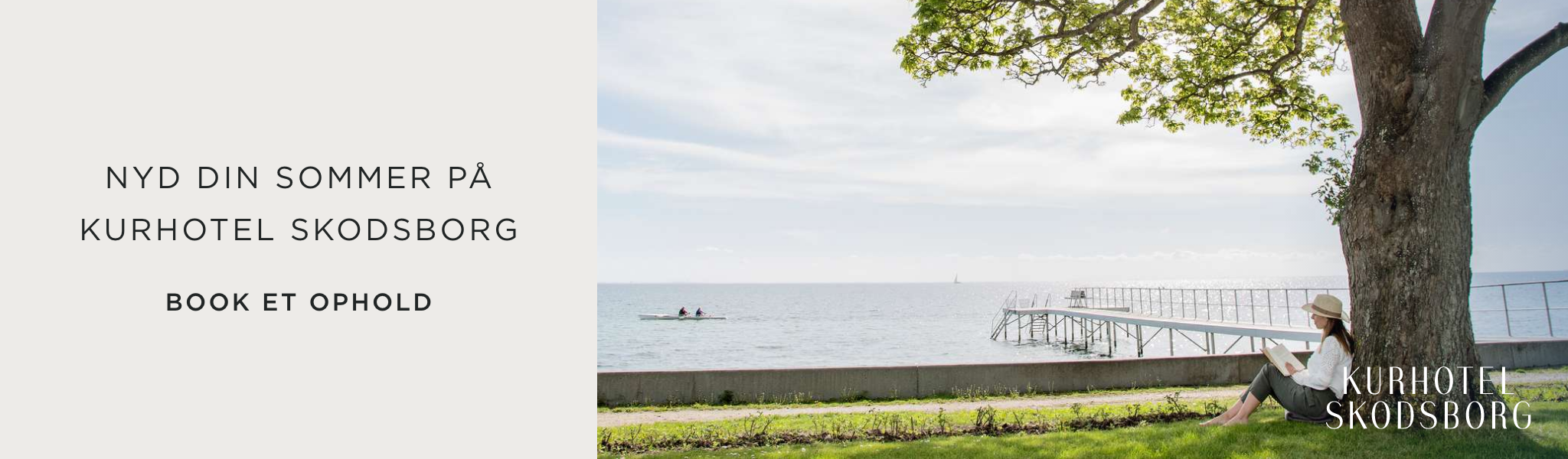

The South Island of New Zealand: From Christchurch to Queenstown has been written af Jakob Linaa Jensen
For many years I have dreamed of coming to the South Island of New Zealand. Many have referred to New Zealand in general as the best travel country in the world, and the combination of European civilization and alien nature seemed enticing. In the winter of 2017-18, I completed the trip. It turned into two and a half weeks on the North Island and three weeks on the South Island. This is the first part of the story of the trip on the South Island.
The trip goes from Christchurch to Queenstown. Also read about the first part of the journey In the world's best travel country, New Zealand: the beautiful North Island.
Here is a good flight offer to Wellington - click on "see offer" to get the final price

Christchurch, the capital of the South Island
Christchurch is the capital of the South Island and is known, among other things, from the movie Heavenly Creatures, directed by a young Peter Jackson and with Kate Winslet in the role of one of two schoolgirls who murder one's mother. The film is based on a real event in the 50s. Both Christchurch Girls High School and Canterbury University, where Kate Winslet's professor father works, have moved since then.
And much else has changed in the formerly very Victorian Christchurch. The city center was almost completely destroyed by the earthquake in 2011, and there is much that has not been rebuilt, and which is left as empty grounds or even still ready for demolition.
Here is a good flight offer to Auckland further north - press "select" to get the final price


24 seconds that changed the city
It was awful 24 seconds back then in 2011 when the city lost its soul. The surrounding suburbs are fairly normal, except for the settlements along the sandy riverbanks that collapsed like house of cards.
But the classic Christchurch is gone, the soul of the city is plunged into dust, and the inhabitants are still struggling with the traumas. The cathedral stands as a ruin as a symbol of what was, and of slowness in determining what to do with it. The bell tower is completely gone, and the nave is open at the rear, stiffened with iron girders. They have sought to hide the tragedy with works of art around it.
I live with a nice lady, Denise, in a house built after the earthquake, where I have rented a small nice studio apartment. She is sweet and will do anything for her guests. Dinner is taken at another fine brewery, Cassels & Sons, where I get four quite ok beers and the atmosphere is good.
Here is a delicious hotel in Christchurch - click on "see offer" to get the final price

First night on a road trip
The next morning I talk a lot with Denise, who tells me about the earthquake and the time after. It is along the banks of the river that the ground has been loose and the houses have collapsed mostly into gravel. In addition to the city center, the eastern suburbs are hardest hit. Entire neighborhoods disappeared in the quakes, and they still have not been rebuilt.
In the middle of the morning I drive to Canterbury University, where I will meet Donald, a good colleague, and his Danish PhD student Jakob. It will be a long and pleasant professional talk in a newer concrete building named after Karl Popper. Down here, one still pays homage to enlightenment.
Then I take a walk in the city's fine botanical garden and repack the car before driving out of town towards the Banks Peninsula. It's a long walk through sandbanks and out to the peninsula where I take the very beautiful Summit Drive on the edge of an ancient volcano with magnificent views to both sides of the South Island. I spend the night at a nice campsite by the water right next to a pristine bay. It's the first night in the car and I'm sleeping well.
Here is a good car rental offer for Wellington - click on "see offer" to get the final price
Did you know: Here are editor Anna's 7 favorite islands in Thailand
7: Koh Mai Thon south of Phuket
6: Koh Lao Lading at Krabi
Get numbers 1-5 immediately by signing up for the newsletter, and look in the welcome email:

On the road on the South Island
On the way away from there, it continues along Summit Drive on the edge of one of the old craters. Akaroa down by the water turns out to be a cozy town with a nice waterfront with small cute shops and restaurants. At Akaroa Fish and Chips I get a nice portion of green mussels, and then I drive further back towards the mainland.
It is again a winding road where Little River is the only 'town'. Inland, I take a shortcut down to Highway 1, and then I head south and Timaru, which has a nice little Georgian town center with facades.
See this cool travel offer: Go to New Zealand and experience nature
Furthermore, it goes towards Oumaru, which has an old harbor with industrial buildings that could just as well have been on London's docks in Dickens' time. Here is fine, and one makes a virtue out of exhibiting the many old machines. There are fine antique shops and a large 'mall' with art and whiskey. I drink a 'tasting plank' at Scott's Brewery and get a fantastic pizza with chicken, chorizo, bacon and mozzarella.


The amazing wildlife of the South Island at Dunedin
The next day it goes towards Dunedin along a summery coastal road close to the water and with green slopes reminiscent of Vesterhavet.
First stop is the famous round stones on the beach at Moriake. No one knows why they are round, but they stand there like something from another planet. They have been here much longer than any of us; the time of the stones is different from that of men. But they seem soft, inviting, you feel like touching them. Some have the shape of turtle shields, others are just completely round.
At the lighthouse nearby there is a large life of seals, gulls and also a few penguins. It's a beautiful place where I could have stayed longer. But I'm going further down towards Dunedin.
The city itself disappoints a bit. The city's famous Emersons Brewing is owned by Helen's brother, whom I met on a trip around southern Africa. Richard is not even home, but his brewery is large with an excellent restaurant and excellent beer. This is where the New Zealand beer revolution started, and since then no one has looked back.
Out of town it goes to the Otago Peninsula. It is a beautiful winding walk along the water with many good photo opportunities of the beautiful bay on the South Island.


The South Sea's unique seabirds
But the big attraction is the albatrosses, the mighty seabirds that live on a promontory at the far end of the peninsula.
The aquatic albatross has a wingspan of up to 3,3 metres, but here it is royal albatross that can "only" have a wingspan of 3 metres. They can live up to 65 years and weigh 7 kilos. They only come ashore to mate and usually only lay one egg, so it is sometimes necessary to keep the population alive. They can live their whole lives on havet.
The guide Tom shows how they can fly all the way around Antarctica in their hunt for food. The egg weighs 450 grams and sits well in the hand. They incubate for 11 weeks, more than any other bird, and the males and females take turns incubating and retrieving food.
After this interesting information, it's time to see them from a hide in the terrain. I think we have come a long way now that we have given 50 dollars, but it is still an experience to see the big birds on the nest, when previously you have only seen them havet.
In harmony with the world
Afterwards, I go out for a walk along the rocks, where there is a life of seabirds, including the red-billed gulls, which are said to be endangered. You can't see that here, where they flaunt their familiars around between the cars. It is beautiful to see Stillehavet wash up against the rocks and I feel in harmony with the world.


South Island South Coast: Kaka Point, Caitlin's Coast and Nuggets Point
The next day it goes in earnest towards the south coast. First stop is Kaka Point, a small surf town with 200 souls and not much else. Furthermore, it goes towards Nuggets Point along a beautiful coastal road with field and beach flowers in yellow.
Out by the lighthouse there is a good distance to walk along a beautiful winding road along the water. Here are views of steep cliffs and bird cliffs, and it is warm and summery with all kinds of plants that have taken over the steep slopes.
Seabirds nest on the rocks, and fur seals swim around in the water. A mother with two cubs lies enjoying the morning sun in the shallow water. Flies buzz and birds dive towards havet in search of food. There are little poetic signs describing wildlife and landscape: Caitlin's shore, a place of air and dreams. Nuggets Point, where havet meets the rock where the wind meets the tide. Beautiful.
And then there is the lighthouse, which was built in 1870 and the result of several shipwrecks in this rocky waters. There is something about lighthouses that has always fascinated. From Lyngvig Lighthouse to these lighthouses, they are a symbol of direction in the middle of nowhere, of light in the dark. I have seen lighthouses all over the world and would like to see many more.
See our cool offers on hiking equipment in our webshop here


Slope Point: The southernmost point of the South Island
Further along the south coast it heads towards Waipape and Slope Point, the geographically southernmost point of mainland New Zealand. Nothing is done about it. The road goes through fields, but at last I can see a small upright drum and a yellow sign proclaiming the obvious. Although we are far south in New Zealand, we are only halfway between the Equator and the South Pole. It's incredible to think.
Slope Point is the southernmost point of mainland New Zealand, geographically, but symbolically it is located in Bluff. That's why people also talk about New Zealand - from Bluff to Reinga (the latter being the northernmost point).
I start by seeing the Maritime Museum, which is modest and nothing special. Old things and cases from ships, missiles, captain's uniforms and outside an oyster boat. The only thing a little interesting is a small exhibit about whaling and then stuffed models of the four penguin species found in New Zealand.
I'm out again a quarter of an hour later. Then it goes through the city out to the symbolic southernmost point and I see the famous sign that marks the distance to a large number of places.
See the cool travel deals to Oceania here

Last stop on the south coast of the South Island
Back in Invercargill I get refueled and then head towards Riverton where I eat some food overlooking the small harbor. I make stops at Gemstone Beach and McCrassken Point. These are the last places on the south island, and now you can see the mountains going out into the water and extending north as far as the eye can see.
Read everything you need to know about the trip to New Zealand here
I'm driving into Fiordland now. The mountains tower up and it is a nice walk in the evening sun. I check into a musty campsite with Swiss houses and small cabins and am accommodated by a talkative elderly lady with glasses from the 50s and a denture that does not fit at all and which inhibits her gentle flow of speech about everything from the weather to American politics. She moved here 52 years ago from the US, which she hates, but also believes NZ is getting off track.
We agree on most things. In the kitchen I cook real food and plan the next few days. I sleep surrounded by trees.
Did you know: Here's an expert from USA Rejser Nicolai Bach Hjorth's top 7 overlooked destinations in the USA
7: Apostle Island, unique islands off Wisconsin
6: Finger Lakes, scenic lakes of New York
Get numbers 1-5 immediately by signing up for the newsletter, and look in the welcome email:

The story of Doubtful Sound
The next morning it will rain, but Doubtful Sound is a must here on the South Island. We head out through Lake Manapouri and there are only occasional views of the mountains, but one still senses it is a beautiful lake.
After an hour of sailing between its surrounding peaks, we reach West Arm Power Station - a giant hydropower plant that can supply the entire South Island with its 180 MW of energy, but which mostly operates an aluminum plant in Bluff. It was built in the 1960s, and because it was difficult to transport things down the road from Bluff, they instead sailed in through Doubtful Sound and built the road from there, over the Wilmot Pass to the power plant.
It's New Zealand's most expensive road at $ 2 per centimeter, but it's worth it because it makes Doubtful Sound available to us today. 800 men worked to build the plant. Many lived here and there were post offices, police and shops, while 400 married men sailed back and forth along the lake every day.
We drive from here over the Wilmot Pass. We cross many rivers and the trip takes an hour before we are out at the beginning of Doubtful Sound. It is so named because Captain Cook chose not to sail in here because it was doubtful if there was enough wind to lead him out again. Later, the Spaniards sailed in, and they were thus the first to discover the place.
Check out this cool travel deal: Go on a cruise through Oceania
Here, wild cliffs are shaped by glaciers, and two-thirds of them are underwater, so here is really deep. Due to the depth and a special salt mixture, there is plenty of fish and wildlife here, you usually only see at oceanic depths.
Therefore, here are both dolphins, penguins, corals and lots of fish, and on the way back again we see a large whale - possibly a blue whale - blowing. The fog eases a little in between, and we see fine peaks and not least many waterfalls cascading on the occasion of the day.


Milford Sound, the famous fjord on the South Island
The next day it is the most famous of the fjords here on the south island, Milford Sound. I have been lying at night listening anxiously to the rain that has been drumming against the roof of the car. When I look out at 8 o'clock, there is a clear blue sky, and well out on the pier you can clearly see Miter Peak in the morning sun. It draws well.
We head out and immediately have the waterfall to our right, well filled up after yesterday's rain, even though the captain thinks they were nicer yesterday when it rained. It IS a beautiful fjord, created by a giant glacier that in the last ice age went up to the highest peaks, ie. 1600 meters above current sea level.
Miter Peak is surrounded by two smaller peaks and has a beautiful U-shaped valley between them. It is claimed that this is the highest mountain in the world that goes directly into the water. Along the cliffs lie fur seals and sunbathe, and we see several beautiful waterfalls that light up with rainbows in the morning sun.
Dale Point is a narrow passage that makes the fjord invisible from the water and the reason Captain Cook missed it. We turn when we are completely out in the Tasman Sea. On the way back we see many more fur seals and are sailed all the way under a waterfall, Stirling Falls, which makes us pretty wet.
Get control of your travel insurance here

Milford Road's stunning scenery and birds
Well back ashore awaits an even nicer ride, Milford Road, which probably aspires to the most beautiful ride I have ever driven, including the famous Million Dollar Highway in Colorado.
It starts almost immediately with wild views and cascading waterfalls. On the other side of the Homer Tunnel - in itself an engineering feat - there are many of the famous and rare Kea birds flocking around the cars, trying to bite the wire to my solar cells over.
I get many beautiful pictures of the rare birds that are also known as mountain parrots because of their green hindquarters. It continues with steep mountain sides and waterfalls cascading down rippling streams that cut through the few flat meadows.
Have a good trip to the South Island and New Zealand!


Add comment